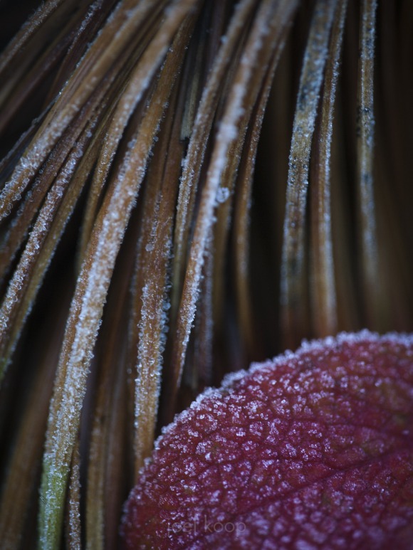
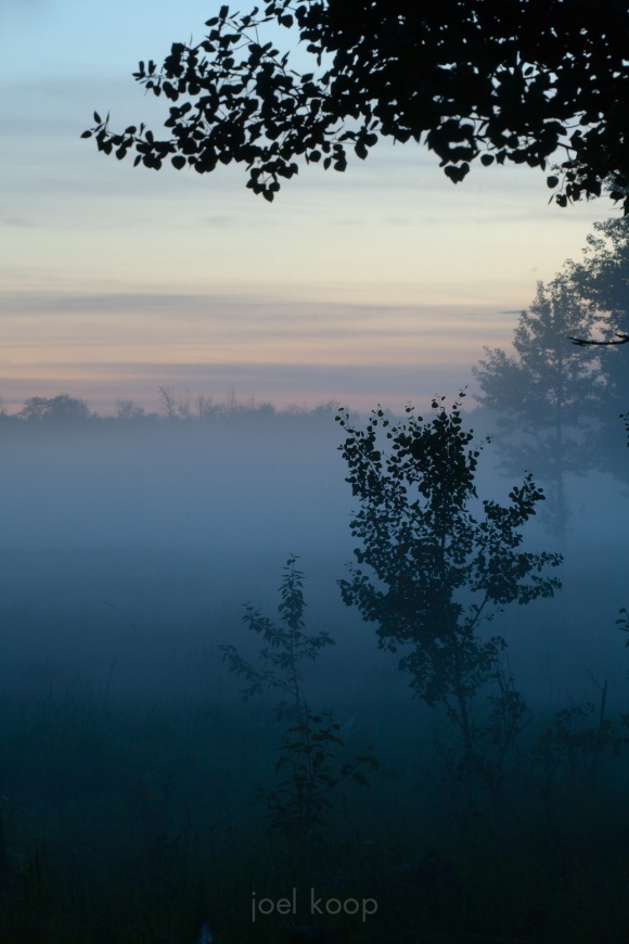
Taken in the morning on the trail to the Saskatchewan Glacier.
Tag: hiking
The Last Photo
Wednesday night as I was driving home from a day of hiking an owl decided to sit in the middle of a dark road — in front of my car. I braked and swerved, as anyone would who likes owls at all. Despite my efforts there were two casualties. The first is obvious (the owl didn’t make it), but the second is a little more strange. When I got home, I opened the door of the car to grab my camera from where it had been sitting in the back seat. I got the camera, but strangely there was no lens attached. Or more accurately, there was part of a lens attached. My Sigma 150 macro had broken in two. The lens is held together in the middle by three small screws in plastic. After seeing this, I’m not sure how it stays together at all. So here is the last photo taken with this lens for now.
Travels, Trails, and Tubes
For a long time the exploration part of this site has contained pictures and descriptions of a lot of the places I’ve been. It started out as zenphoto, and I started hacking it. I started by modifying themes, adding a bit in here and there. Eventually I added maps, because if you need one thing to describe a place, its a map. Unfortunately, a couple months ago, the service I was using to publish my maps shut down and my maps became unusable. While I was sadly deleting them (so the pages would actually load in a reasonable time) I got to thinking of all the shortcomings of my exploration section and all the things I’d like to do with it. Yeah, I love photography, but a gallery is only one of the important things to have on a site describing travels. You need maps, you need descriptions, in some cases you need more information such as elevation or distance or cost. The list goes on.
So I decided to build my own. And while I’m at it, I’m not just going to build it for me. I don’t get to go many places and I’d like to know about places I haven’t been to yet, so I’ll let other people add places too. Right now you need an email address to sign up. Considering the amount of spam I’m getting on this site, I need some sort of authentication system for users to add content, and I think an email address is best. If you think that’s a dumb system tell me about a better one in the comments – I might even change it.
With no further ado – Travels and Trails.com.
Keep in mind it’s still a work in progress. It will probably change drastically yet (If you think you know how it should change, let me know in the comments below). There are many parts of the site I’m still working on, and probably many bugs to fix yet. But hopefully it will work well for you. If you’re interested in travel or hiking, check it out. I have yet to add a lot of the places I have in the exploration section here. I’m splitting my time between programming and adding places, so it might take a while.
Adventures / Misadventures
I get up at 5 in the morning, pull out a couple granola bars for breakfast, and organize my daypack for the hike. Sunrise is at 6:11 but at 6 it’s still pretty dark because of the clouds. It looks like it will be an overcast day – not so good for pictures, but at least it won’t be too hot. I drive for a couple minutes to reach the trailhead, lock up the car, and start the hike. Right away I’m climbing, first through poplar, then mixed, and finally alpine spruce forest. It is a very long and grueling climb before any meadows appear – I’m all about the meadows. The first meadow is the valley between Mt. Stearn and ridge I’m heading for. Mt. Stearn is the shorter and easier hike, so of course I’ll be taking the right branch to the ridge. Right away, I’m climbing through more trees, which is a bit of a disappointment. The trail continues to climb, alternating between thick trees and small meadows. I cross rocky creeks, muddy streams, and everything in between. None of my maps have the trail on them, so I assume I’ll be heading up the first slope to the ridge. Nope. The trail follows the ridge all the way to the far end, and then climbs that slope. Finally I leave all the trees behind me! Meadows, scree and amazing views await! (until I get into the cloud of course – the clouds are covering the very top of the ridge) I arrive at a beautiful little lake, surrounded on one side by the mountain, and the other by open meadows.
Then I hear it – rumbling. Is that thunder or a rockslide? It can’t be thunder, these are overcast clouds, not thunder clouds. KABOOM! The flash and sound instantly flatten me. Was that instinct or did the sound knock me over? The lightning hit a couple hundred yards away. I’m currently the highest object in the meadow. KABOOM! Another one. Now it’s starting to rain, and at 7000 feet it’s cold. There is no kind of cover for a long way. So I start to crawl on my hands and knees through a freezing marshy meadow. My hands are white with cold, my pants are totally soaked. At least I have my rain jacket and a couple layers underneath. Lightning is still flashing all around, and the thunder is shaking me. Or is that fear? Or cold? Finally I reach a gully, so I feel fairly safe walking again. Now it starts hailing – pea size now – hopefully it doesn’t get bigger. The gully is getting slippery and slushy with melting hailstones. My mind races ahead to all the places where the trail is exposed. Can I avoid them? Now I’m thankful that there aren’t too many meadows. The storm doesn’t seem to be letting up. I end up making some detours through spruce thickets, thoroughly soaking myself. My brain finally realizes that lightning isn’t the only problem here. I’m really cold. I’ve heard that staying dry is the best way to avoid hypothermia. So much for that. There’s nothing I could start a fire with here either – everything is far too wet. I decide that the best thing is to just keep moving and get down off the mountain as quickly as possible. It’s about 5 hours back to the car, I should be able to do that. I grab some trailmix and speed up, letting my body create its own heat. Eventually the hail stops, and the rain slows a little. The lightning is getting less frequent. I continue to hurry down, and as I do the air starts to get a little warmer. Now I’m just thinking of getting into the car and turning up the heater full blast.
I get to the car and unpack everything – peel apart papers from my wallet (silly me – I forgot to put it in a ziploc bag), dump out my camera bag (there was half an inch of water in the bottom), and wring out my socks. And I shakily write down a few notes about my hike. Oh yeah, the ridge I was heading to? – Lightning Ridge.
Some notes:
– Lightning is often avoidable, it’s not smart to hike in storms – but the forecast was for 30% chance of rain
– Lightning only kills about 20% of the time – but it causes various levels of disabilities over 70% of the time, and alone on a mountain that would often kill.
Crowsnest Pass Trip
The tourist information people in Crowsnest are very helpful. They photocopied exact directions for the hike up to the Chert Mines on Livingstone Ridge for me. It turns out that the directions mislead me slightly. So instead of driving around on horrible roads trying to find the spot, I stopped at the base of a big hill and started climbing. This was in the evening, so I was expecting to stop on a convenient rock, eat my supper, and watch the sunset. Well, my plan commenced flawlessly, but after eating supper the sun still wasn’t setting so I climbed higher. And higher. It actually wasn’t that high of a hill, because I got to the top before the sun set, and puttered around there for a while, enjoying the light on the mountains. From the top I got a bit better idea of where I was, and where the directions might have been pointing me. I headed back down after enjoying the sunset, and found a place to sleep that I’d scoped out earlier in the day.
In the morning I drove to the base of Turtle Mountain and climbed it. I took the wrong path at first, met some other people who also took the same wrong path, and together tried to find the right path. After a little bit of scrambling, we found the real path and continued up the mountain. It’s actually a pretty simple ridge walk to the north peak, although the loose scree over solid rock can be slippery. The top is great, and offers a good view of where I went (and was supposed to go) the day before. You can see out to the prairies on the east, and mountains all around on the other sides. From the north peak the trail to the south peak looked treacherous, but I’ve heard it isn’t too bad. But I was tired and had to get home, so maybe I’ll do that next time. The walk down actually seemed longer than the way up, which is kind of weird, but I got down all the way on the correct trail. I found out at the bottom that the trailhead is very clearly marked with brightly yellow painted rocks.
The drive home was uneventful and enjoyable. Holidays like this make you appreciate showers though.

