We have so many incredible places in Canada that it feels wrong to highlight a particular one – one that I don’t even know that well. It feels like giving the standard advice, when tourists are deciding where to go, of driving through Banff. There’s no denying it’s spectacular, but there’s an intimacy with the land that seems somehow less accessible in these in-your-face spectacular areas. It’s not the real Canada, it’s the instagram influencer of Canada. It’s hard to sell the smaller, flatter, swampy natural areas surrounded by agricultural land that dot the Alberta landscape. And maybe that’s for the best – if they got as much traffic as Banff, they would change significantly.
But the spectacular has the same appeal for me as it does for most people. I’ve wanted to visit Tombstone Territorial Park for years. It has all the in-your-face, mountainous beauty of Banff, plus the northern appeal of the tundra and a relatively low visitor count.
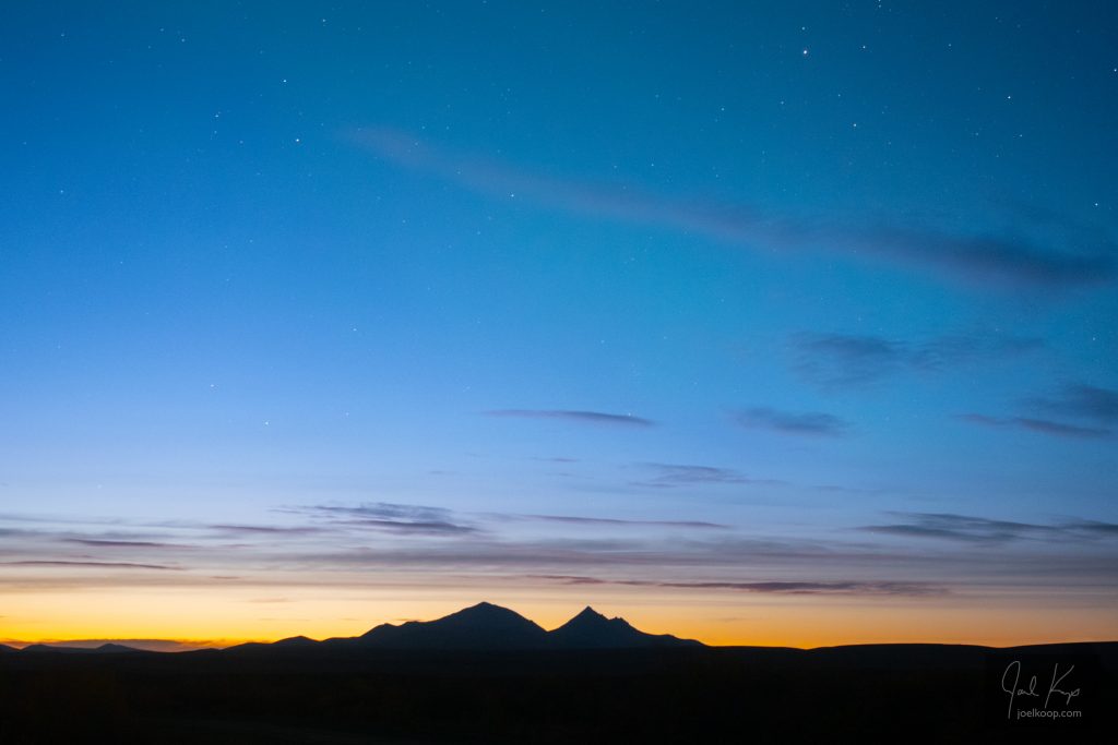
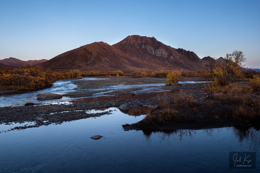
Early morning near the north end of the park.
But it is quite the drive to get there. From the “gateway to the north” in Edmonton, you still have to drive 29 hours north. That sounds long, and it feels even longer. And the trouble with this drive is that there are hundreds of tempting spots to get sidetracked. There are mountains, waterfalls, parks, coffeeshops, rockhunting spots, vistas, wildlife, hotsprings, and more, all calling you to check them out, spend just a bit of time, do just one little hike. But no, you have to keep driving. And driving. And driving. And once you’ve spent the 3 or 4 long days driving you’re finally there. And it is spectacular.
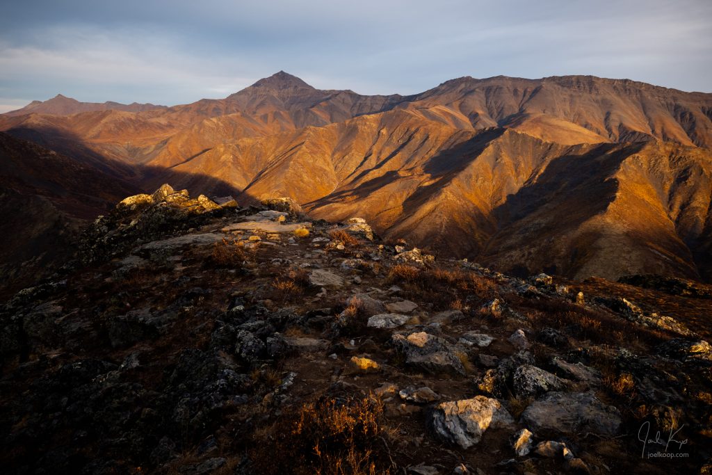
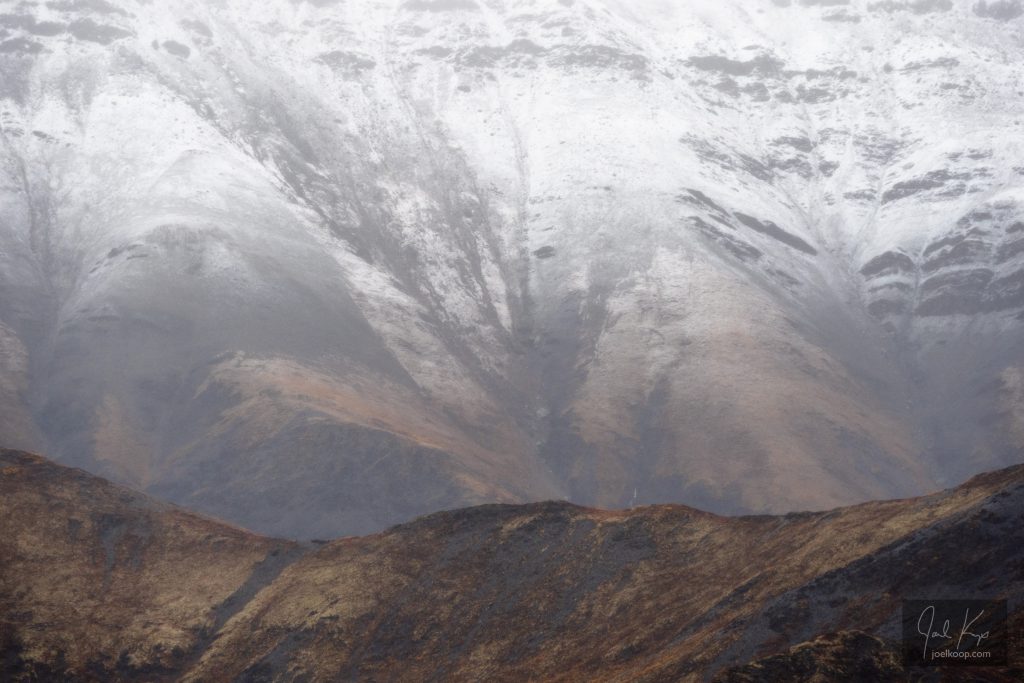
Tombstone is full of interesting textures from erosion, lichen, and tundra growth.
My only advice, if you do have the time to get all the way up here and back, is to make sure you have time to spend in the backcountry. Plan to hike for a few days at least. I got to spend 3 days here, and it was not enough. If you’re staying on the highway it is not a big park – you’re through in an hour. But the land is massive, and deserves to be explored on foot.
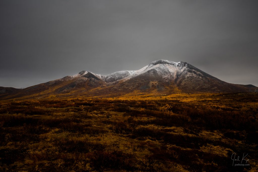
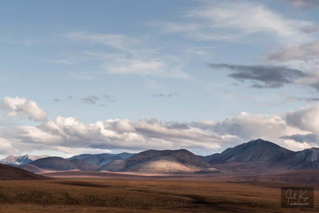
Looking towards the grey Ogilvie Mountains from the north end of the park.
If you are planning to travel here and you want any specific advice, feel free to comment or email me. I enjoy talking about trips and places, although I’m often away and I might be slow to respond. The Dempster “Highway” is a rough gravel road that has been known to cause flats (we survived with no casualties – until later in our trip). The gas stations are few and far between. There is no cell access anywhere. You can not get extra supplies if you forget them. You should be prepared for any emergencies. Now that all those warnings are out of the way, it’s not that bad. Don’t be scared to do it. There are usually other travelers around, and most are friendly and helpful should you need it.
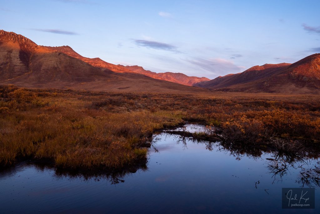
The streams are mostly surrounded by tall willows. There are lots of spruce trees near the south end of the park, but very few in the north – even the willows get a bit smaller.
The leathery colors of fall blending into the monochrome of the coming winter.
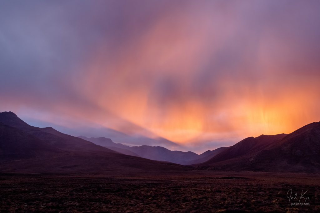
Bad weather is the best weather.
